 |
 |
|
|
|
As I reported the other day, I received my Dash GPS (!), and today I *finally* got a chance to use it, driving down to and around Vista. First the bottom line - it is a great GPS. A nice SIMPLE user interface, FAST calculations, online search, and integrated traffic information - what more could you want?
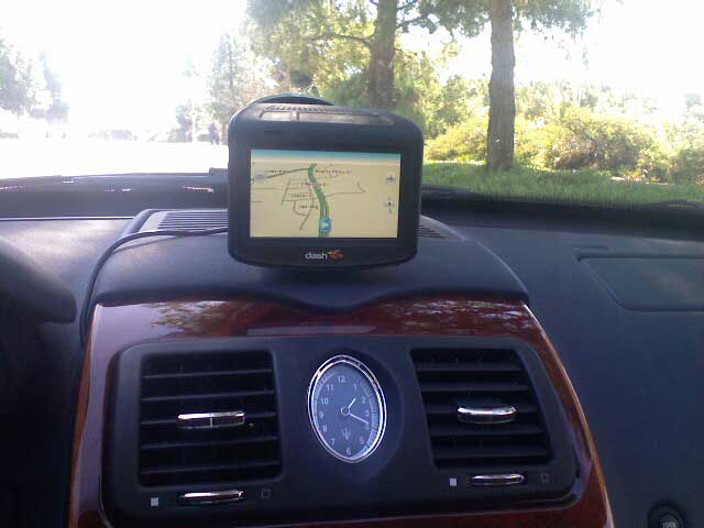
So, here's what it looks like... it is attached via a suction cup to the windshield, dead center, and hangs over the dashboard (it looks like it is resting on it, but it isn't). The mount is surprisingly stable, you can use the touch screen easily without moving the unit.
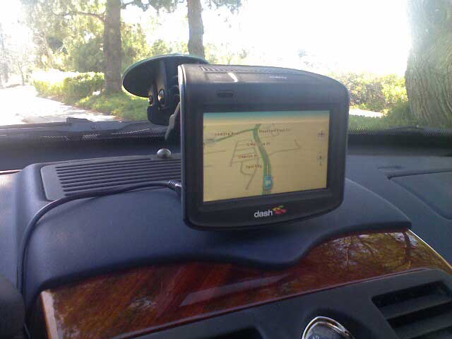
Here's a zoomed in view, you can see the suction cup mount. There is also a power wire running down to a plug which goes into a cigarette lighter. That's actually the ugliest part of the whole setup, and if this becomes permanent, something cleaner could be done with the power wire. One cool thing is the Dash is battery powered, but it uses the external power to sense when the car is on (as well as to charge the battery).
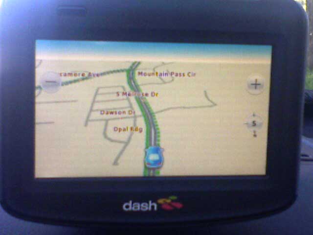
Here's what the screen looks like when you're just driving around. The interface is really simple, which is GREAT. You have zoom in and out buttons, and that's it. On the top of the unit is a menu button, which you can use to bring up menus that let you do various things, such as search for things, enter addresses, pick recent destinations, etc.
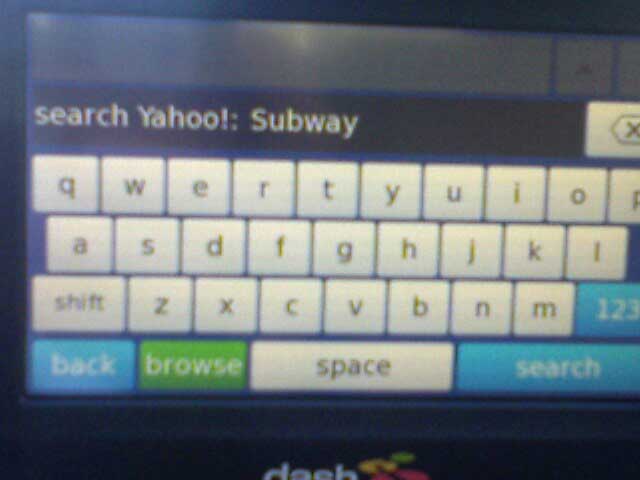
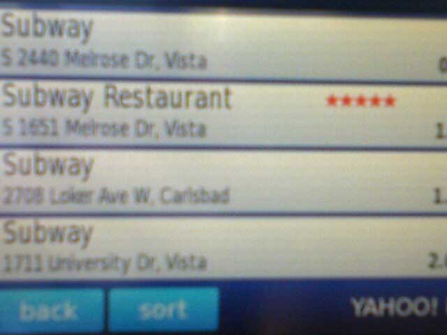
Lunchtime! I'm looking for a Subway, so I hit Menu, hit Search, and now I can enter anything I want, like "Subway". This uses Yahoo! local search via an online connection, no DVDs or anything...
The UI is really FAST, thank you. As soon as you hit Search, poof, you get search results. From there you just click on one of the results, and the GPS takes you there...
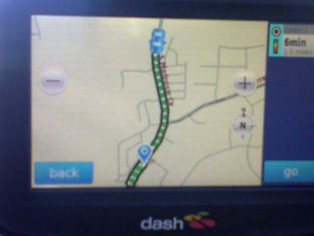
On the right it lists one or more routes to your destination, along with the projected time it will take using each of the routes. This is where the Dash's ability to factor in traffic comes into play. For each road along each route, it computes your likely speed given the current traffic level (or historic levels on that road for this day and time).
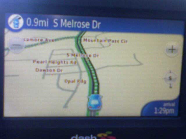
Click Go, and it goes, with a spiffy 3D view of your route. The calculation is FAST, and if you happen to leave the route, it recalculates very quickly. In this view the green lines mean "smooth traffic", the dashed line is your current route. The lower right corner shows your expected arrival time - and in my limited experience so far, it is pretty accurate. So that's it so far - I'm really enjoying Dashing around. Stay tuned for more...
|

|